 CZ
CZ PL
PL
 EN
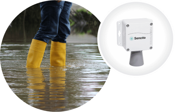
ENMonitoring the water level of rivers
Have a perfect overview of the level of watercourses in your municipality - at any time, even without field trips. Smart sensors will keep you in the picture and help you better manage the flood situation.
Where to use the sensors
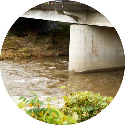
Bridge over a river
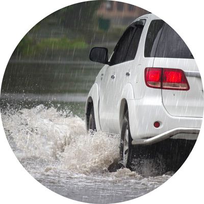
Floods in the municipality
Benefits for municipalities and citizens
Less damage caused by floods
Long-term monitoring of watercourse levels
Lightning intervention by rescue services
How it works in practice
- Place smart sensors under the bridges in your municipality.
- In heavy torrential rain the sensors measure the current level of watercourses.
- The Sencito application immediately reports that the limits have been exceeded - directly to your smartphone.
- You can share the measured values online with others in the municipality - for example with firefighters, who can intervene immediately.
- For better information for citizens, the data can be published on the web as a municipal dashboard.


